Tracking Harvey’s Destructive Path Through Texas and Louisiana
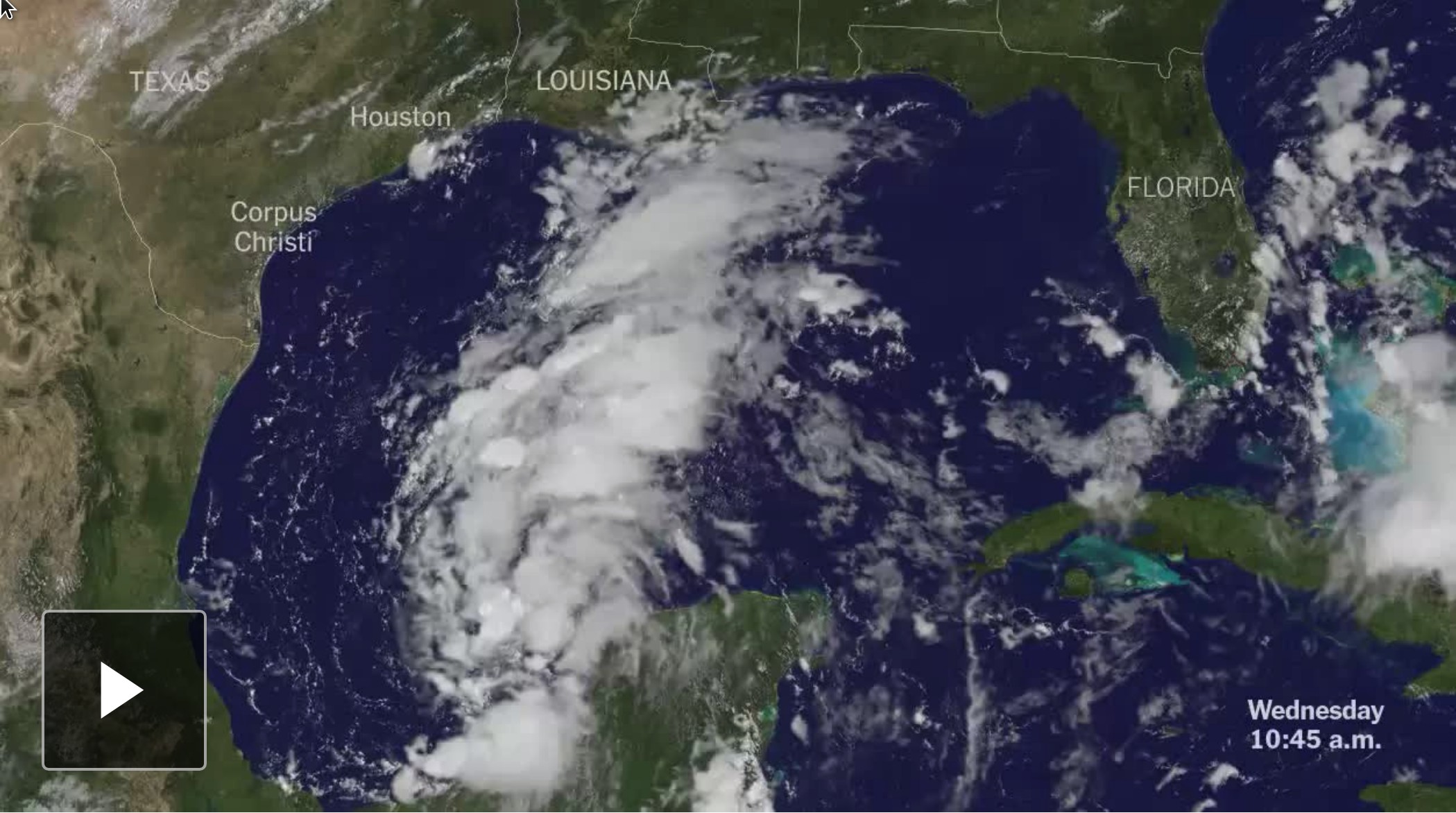
All I contributed to this page was to write a script that takes satellite images, croppes them to a defined viewport, overlays map labels, state borders and the timestamp and converts everything into a video.
This allowed us to update the video more often than we would’ve been able to do in a manual process.
In collaboration with many others.
Appeared on The New York Times